Digital Wall Mapper |
567 Fire St. Oakdale, CT 06370 |
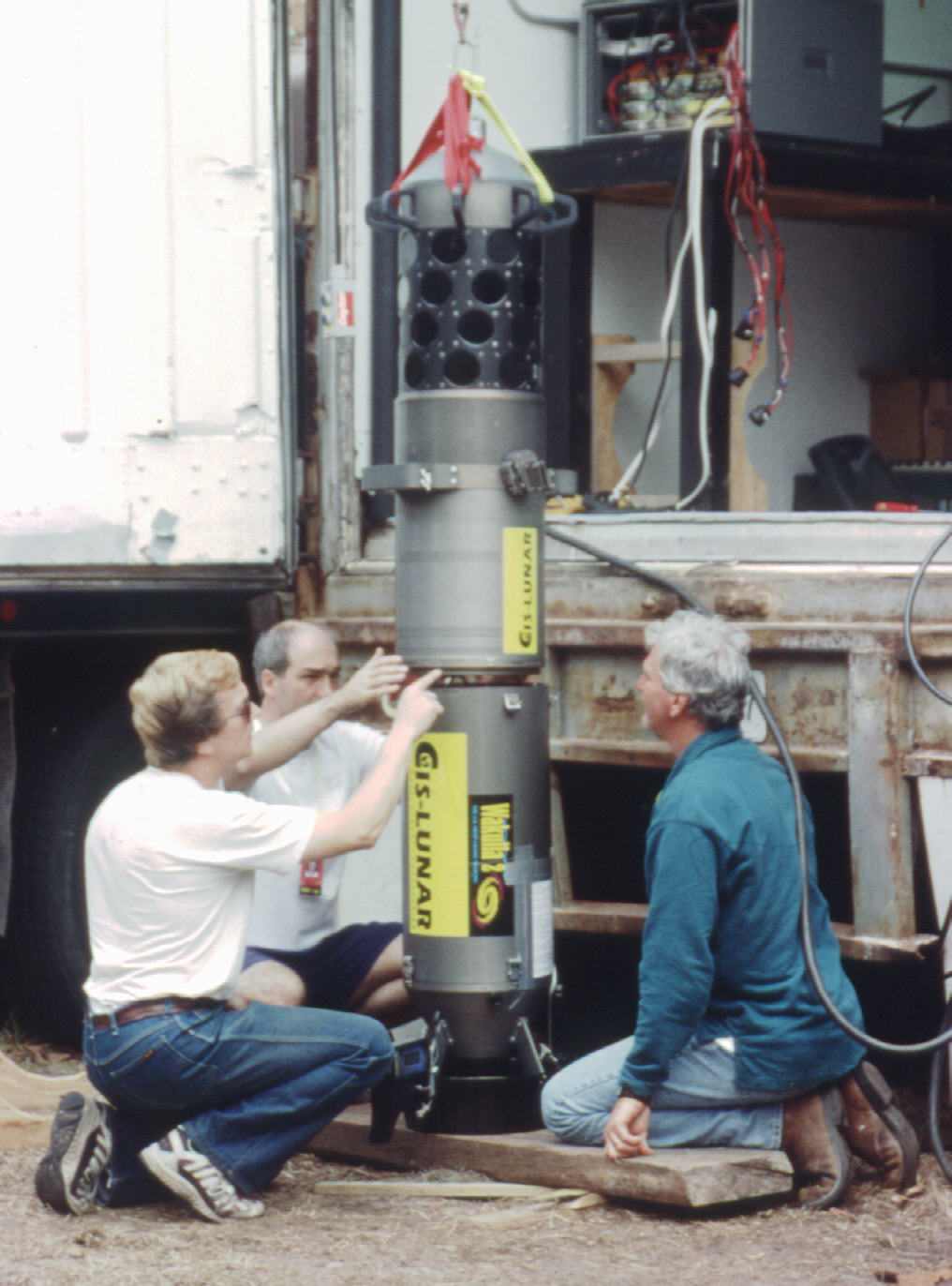
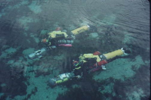
Task-Loaded Divers |
|
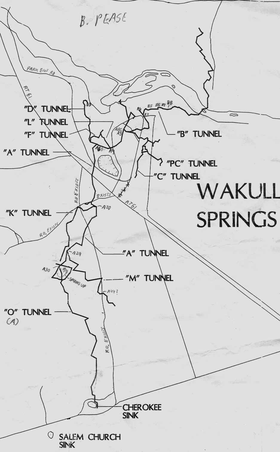
MAPPING ACCURACY AT WAKULLA SPRINGS |
|
Digital Wall Mapper |
567 Fire St. Oakdale, CT 06370 |
Task-Loaded Divers |
|
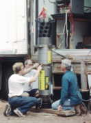
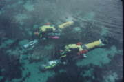
Low Frequency Radiolocation gear was used extensively during the Wakulla II expedition to enhance the accuracy of a 3D map of the extensive 300 foot (90 m) deep underwater cave system at Wakulla Springs State Park in Florida. Careful Radiolocation work found the position directly above 38 marked points in the spring to within one meter. The UTM coordinates of these surface points were initially determined to within 4 meters using simple US Coast Guard DGPS gear. Later, each surface point was Precisely located to within approximately 1cm using a combination of Real-Time Phase-Differential GPS and conventional surveying with a "Total Station". These locations were used to correct for drift in the Inertial Navigator guidence system in the underwater Digital Wall Mapper used to create the map. |
|
|
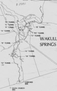
Line Map of the Underwater Cave System (WKPP) |
FOR MORE DETAILS SEE |
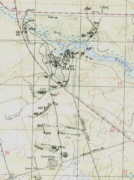
Topo Map of the Area With Some Radiolocated Points |
|
|
|
|
|
|
|
|
|
|